Table of Contents
PEI Report Chapter 9 : Click Here
PEI Report Figures : Click Here
PEI Report Appendices : Click Here
Glossary and Abbreviations : Click Here

This section summarises the preliminary assessment findings at this point in the EIA process for geology and soils, based on PEI Report Chapter 9: Geology and Soils.
Baseline
The ground conditions of the project comprise natural superficial deposits, which cover most of the area routewide, including alluvium (loose clay, silt, sand, or gravel), river terrace deposits and a multitude of various types of glacial deposits. Peat deposits exist locally, but only in a small number of locations.
Some localised recent and historical made ground deposits exist in discrete areas where prior development or highway construction has occurred.
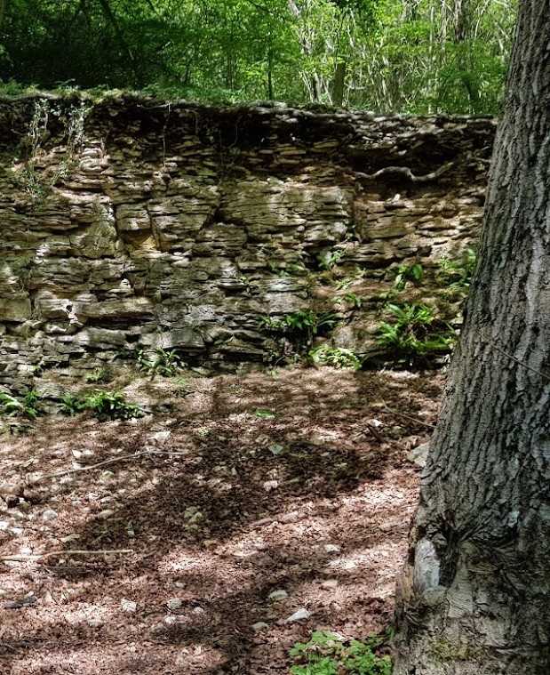
Routewide the underlying bedrock comprises the Stainmore and Alston Formations in the west, which are made up of repeating layers of sandstone, siltstone and mudstone with thin limestone and some coal. The Penrith Sandstone Formation is also present routewide.
Agricultural Land Classification (ALC) grades 2, 3a, 3b and 4 (but predominantly 3) exist in many of the schemes, as well as soils supporting SACs or SSSIs.
Some areas of surface quarrying exist within the draft DCO boundary and some underground mining is recorded in some localities, especially within the Kirkby Thore scheme. No underground mining is known to be ongoing.
Two geodiversity sites: George Gill SSSI and the UNESCO North Pennines AONB Global Geopark are located in proximity to the project, with some areas of the Geopark located within the DCO boundary areas for the Appleby to Brough and Bowes Bypass schemes.
Construction
Construction works are to be widespread routewide, associated with new stretches of carriageway, bridges, embankments, re-grading existing embankments, excavation of drainage ponds, installation and re-routing of buried and overhead services.
The ongoing EIA will further develop appropriate mitigation and enhancement measures to address likely significant effects identified at this preliminary assessment stage.
Preliminary construction assessment
Potential likely significant effects have been identified in some or all schemes, as follows:
- Likely significant effects due to the potential permanent land take and loss of high and medium value agricultural soil resource (Grade 2, 3a and 3b agricultural land)
- Likely significant effects on soils supporting SACs and SSSIs
Operation
During operation, each of the schemes are to see high volumes of road traffic, and lesser amounts of other activity which may have potential impacts on identified receptors.
Preliminary operation assessment
Potential likely significant effects have been identified as follows:
- Potential beneficial significant effects on the UNESCO Global Geopark due to the potential for enhancement if cuttings or earthworks offer an opportunity to permanently expose geology of scientific interest.